blah blah blah
Mt. Isolation
Length: 14.4 miles out-and-backDifficulty (click for info): Extreme
Elevation Gain: 3600 feet
Rating (click for info): 8/10
Elevation: 4004'
Prominence: 224'
Driving Directions:
Trailhead and parking area are on the west side of Rt. 16 in Jackson (summit is in Sargents Purchase), 7.7 miles north of Rt. 302.
About the Hike:
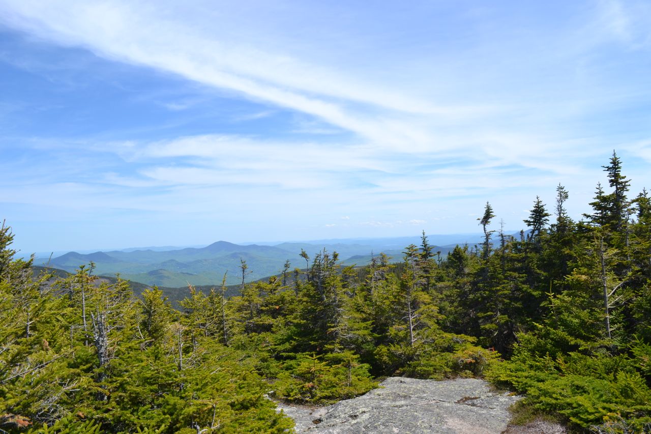
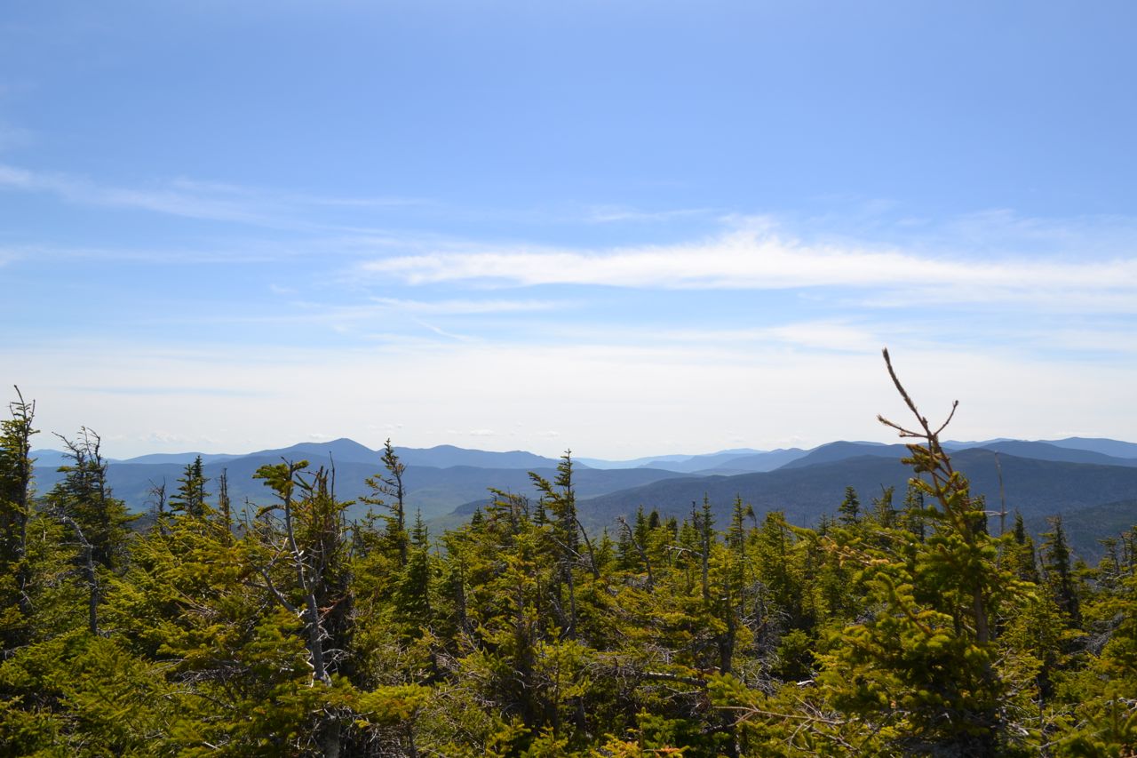
As its name suggests, Mt. Isolation is not an easy place to reach. Seven miles by trail from the nearest road, it is mostly 4000-footer climbers who hike to this remote peak. It is located in the Presidential Range-Dry River Wilderness, at the north end of Montalban Ridge. Isolation's summit view is restricted in one direction, but its view of Mt. Washinton and the southern Presidentials is unmatched. Although very long, the hike to Mt. Isolation is not difficult, as the pathway climbs at very easy grades the whole way, with occasional descents.
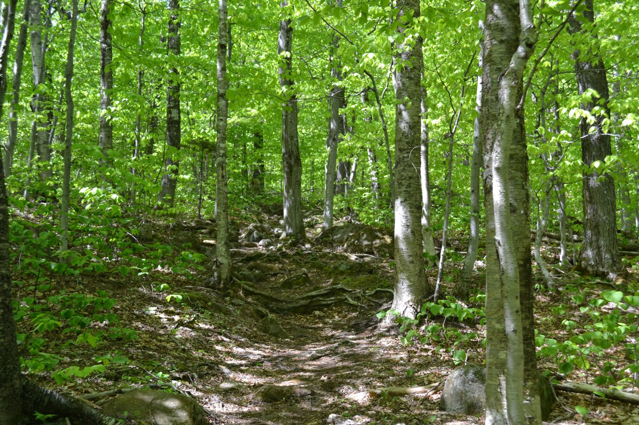
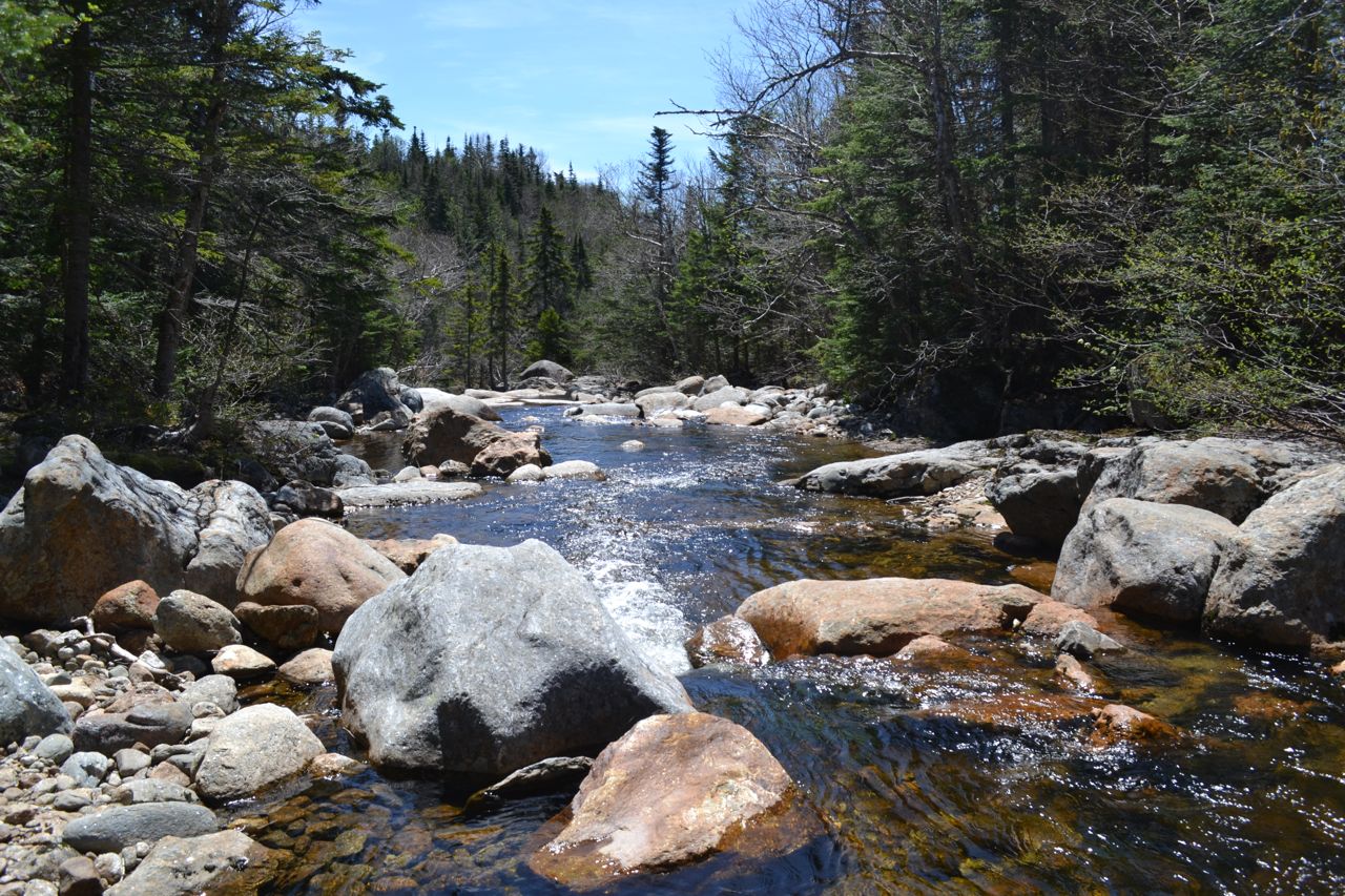
The hike begins on Rocky Branch Trail. The trail immediately begins to climb the east slopes of Rocky Branch Ridge easily by switchbacks. It intersects a ski trail in half a mile and follows it for 0.2 miles. Watch for the left turn off this ski trail. After approaching a small brook, the climb becomes steeper. This short section is the steepest part of the hike. At the end of this moderate mile-long climb, the trail enters a pretty birch forest and joins a grassy logging road. You may encounter serious mud here, but there are stepping stones to help you through. The trail descends gently past a logged clearing, then swings to the right, leaving the logging road, and begins climbing again, soon crossing the wilderness boundary. It then ascends 0.4 miles to its highest point on the Rocky Branch Ridge at a wetland. On the other side of the ridge, the trail makes a 300-foot descent through the bed of a seasonal brook (it can be very wet in the spring). Along this brook, there are glimpses of Mt. Davis and Mt. Isolation. The trail leaves the brook in 0.7 miles, then swings to the left and continues descending 0.2 miles. At the bottom, the trail makes its first crossing of Rocky Branch, a tributary of the Saco River. This crossing will be difficult if the water is high.
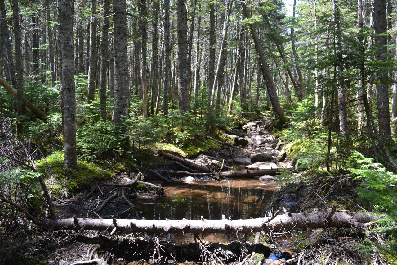
On the other side, turn right onto Isolation Trail. This trail follows the river closely on an old railroad grade, crossing back to the east side in 0.4 miles. It then climbs away from the river and follows it from high above, ascending very easily past a few wet areas. Eventually, the trail crosses the river again, but recrosses immediately after. These needless crossings can be bypassed on an obscure herd path. After a little more easy walking, the trail makes its final crossing of the river (1.7 miles from the first one) and enters a dark evergreen forest on the other side. Climbing is still very easy, although there is much running water and mud in this section. Once the trail leaves the running water, it finally begins to climb more steeply. After going through an area of blowdowns, it passes several spurs to campsites, then meets the Davis Path at the ridge top, 0.9 miles from the river. Turn left and follow the Davis path for the final mile of ups-and-downs along the Montalban Ridge. Near the end of the hike is the first viewpoint. To reach the summit, turn right at a sign for Mt. Isolation and climb a steep and rocky pitch to the open rock on the north side of the summit.
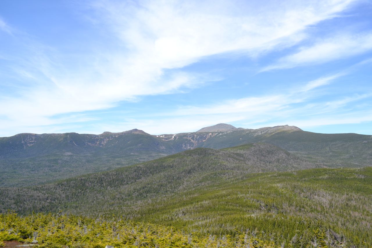
There are wide views here across the Dry River Valley to the southern Presidentials, north up the Montalban Ridge to Slide Peak and Boott Spur, and of Mt. Washington above impressive Oakes Gulf. There is also a good view over North Conway and of the Baldface Range, Mt. Kearsarge North, and the Green Hills. To the southwest, you can make out Mt. Hale and the Twins. The summit of Mt. Isolation is just behind this ledge, and is marked by a cairn. Views are more limited here, but you can peek through the trees to see the Willey Range, the Bonds, Mts. Carrigain and Hancock, and the Sandwich Range.
Printable directions page